Magda Ehlers via Pexels
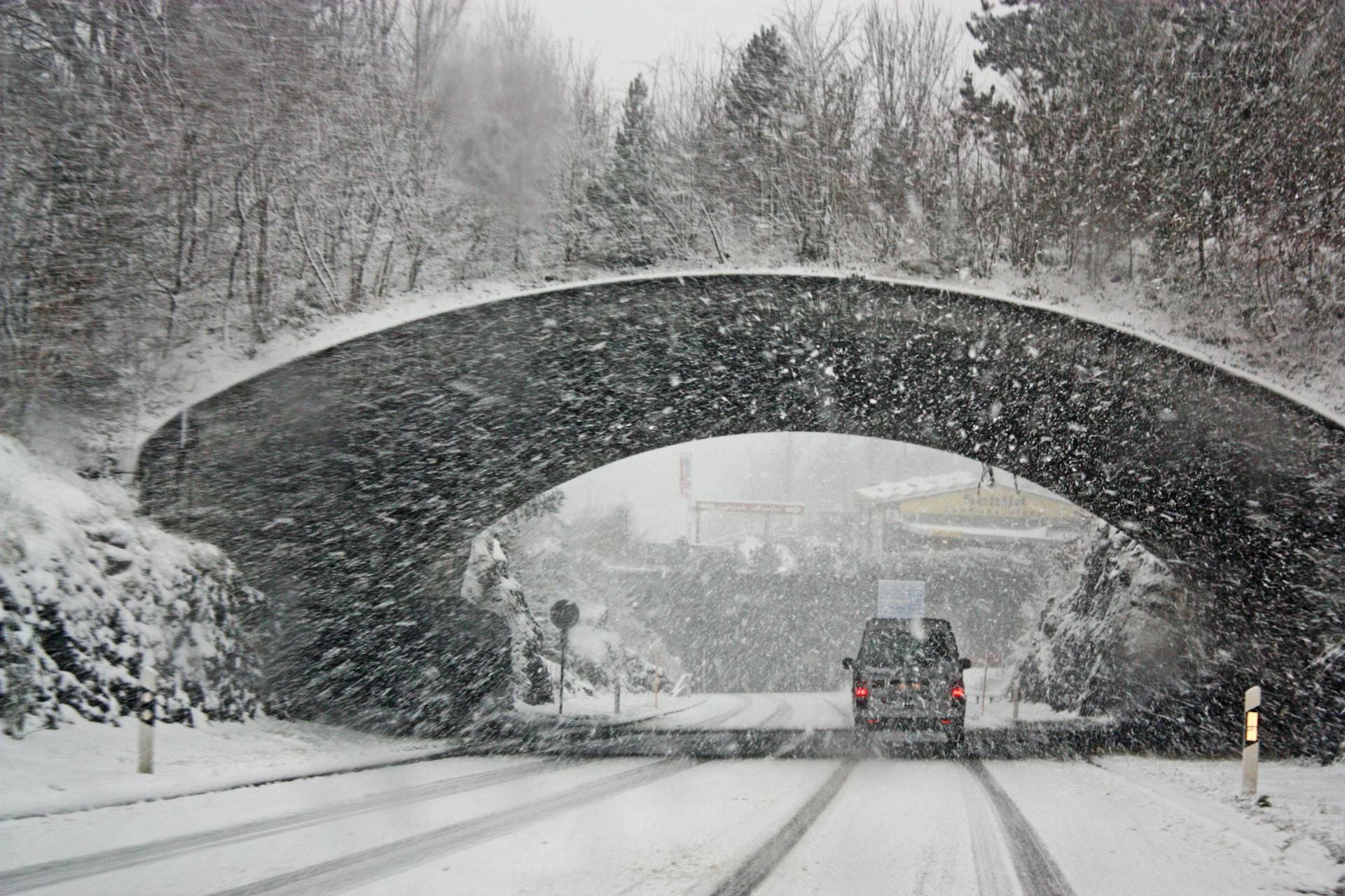
The National Weather Service (NWS) in Washington DC has issued a Winter Storm Watch for portions of central, southern and western Maryland, central, northern and northwest Virginia and the Eastern Panhandle of West Virginia.
Just before noon on Saturday, January 4, 2025, the NWS issued the following alert:
Beginning at 1 a.m. on Monday, January 6, 2025, heavy snow is possible, along with the potential for sleet and freezing rain.
Total snow and sleet accumulations of five inches or greater and ice accumulations up to one tenth of an inch possible. In some areas, up to 10 inches of snow is possible.
The storm watch includes the following areas:
The District of Columbia, Garrett, Prince Georges, Anne Arundel, Charles, St. Marys, Calvert, Extreme Western Allegany, Central and Eastern Allegany, Northwest Montgomery, Central and Southeast Montgomery, Shenandoah, Frederick VA, Page, Warren, Clarke, Madison, Rappahannock, Culpeper, Fairfax, Arlington/Falls Church/Alexandria, Stafford, King George, Northern Fauquier, Southern Fauquier, Western Loudoun, Eastern Loudoun, Northwest Prince William, Central and Southeast Prince William/Manassas/Manassas Park, Hampshire, Morgan, Berkeley,Jefferson, Hardy, Western Grant, Eastern Grant, Western Mineral and Eastern Mineral.
Governor Glenn Youngkin also declared a State of Emergency in advance of the storm.
In a statement, the governor said:
“I am declaring a state of emergency for the incoming winter storm currently forecasted to impact Virginia starting Sunday, and I’m encouraging all Virginians, visitors, and travelers to stay alert, monitor the weather forecast, and prepare now for any potential impacts.”
“Given the current projected size of the storm, if your post-holiday travel plans have you leaving Sunday, I encourage you to adjust those plans to leave on Saturday.
If you find yourself needing to be on the roadways, please heed any warnings and make sure you are keeping yourselves and others safe. Our pre-treating preparations are underway and substantial state and local resources will continue to actively monitor the forecast and respond through the weekend.”
Travel could be very difficult. Road conditions could impact the Monday morning and evening commutes.
Other key points of the Youngkin announcement:
Virginia Department of Transportation crews are pretreating bridges and roadways in some areas and will be monitoring roadways and treating conditions as they develop.
Virginia State Police will be adjusting the number of state troopers and supervisors working the roads Sunday and Monday. To prevent unnecessary traffic crashes during the storm, state police advise residents to postpone travel plans and avoid driving until weather conditions improve.
The Virginia Department of Emergency Management (VDEM) is monitoring the forecast and will be activating the state emergency operations center to coordinate activities related to the storm.
The Virginia National Guard is in close contact with the VDEM about possible response operations.
Virginia residents are urged to plan ahead regarding travel arrangements and gathering supplies (including generators, fuel, food, shovels, ice-melt, flashlights and batteries, medications and pet food).
Officials at Shenandoah National Park have already announced that the entire length of Skyline Drive is closed due to hazardous weather conditions.
Consider the safety of others during the storm. Monday is not the ideal day to order food delivery. If you must be on the road, remember to use headlights and don’t tailgate. Always give snowplows and responders the right of way. Check on elderly or disabled neighbors and/or offer to help shovel their walkways.