LURAY, Va. — The National Weather Service (NWS) in Washington, DC, officially confirmed that a tornado briefly touched down in the local area on Friday.
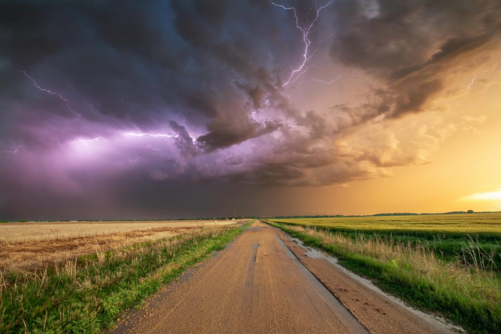
On May 31, 2025, a severe thunderstorm capable of producing a tornado was located near Mount Jackson, moving east at 40 mph. Local residents received both “Reverse 911” calls and tornado warning alerts just before 6 p.m.
While the storm seemed to roll in and out quickly, it managed to cause substantial damage within just a few minutes. Noah McCoy, administrator of the Facebook information group Night Watch of Page County, posted the following incident alerts shortly before 6:30 p.m.:
- Stanley – Lines Down – 400 Blk Pine Grove Rd @ 1807
- Luray – Electrical Hazard – 3300 Blk Kimball Rd @ 1817
- Luray – Electrical Hazard – 1000 Blk Mt. Zion Rd @ 1820
- Stanley – Electrical Hazard – Jimmy’s Dr @ 1825
- Luray – Electrical Hazard – Clearview Rd @ 1827
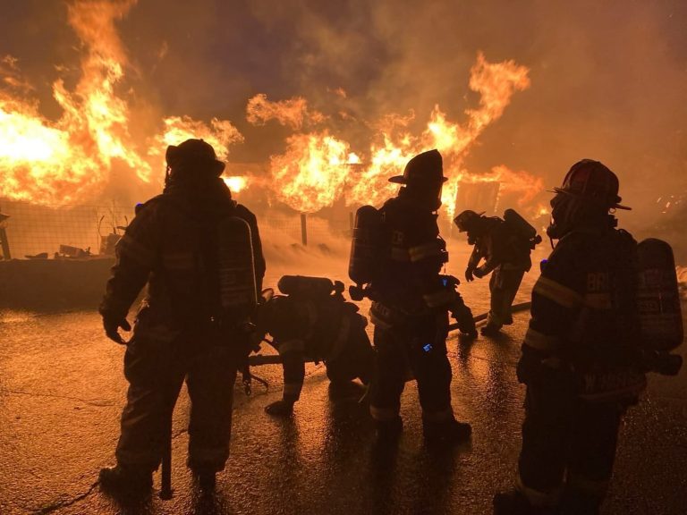
- Luray – Tree on lines, reported to be with active fire – 300 Blk Elgin Dr @ 1833
- Stanley – Electrical Hazard – Kite Hollow Rd & Balkamore Hill Rd @ 1836
- Luray – Transformer Fire – 2200 Blk US 211 E @ 1843
Page County Sheriff Chad Cubbage issued the following statement later that evening:
Thank you to everyone who worked tirelessly through this, and to the community for your patience and support.”
“I’d like to take a moment to thank our deputies who did an outstanding job earlier this evening, helping to clear roads and ensure Fire & Rescue had access in case of emergency—even before VDOT crews could get in for cleanup. Their quick action made a real difference during a fast-moving situation.
Our Emergency Communications Center (ECC) also deserves major recognition. They were hit with a very high volume of calls and had to go to a Level 2 status. Even under pressure, they kept things running smoothly and ensured help got where it was needed.
This was a significant event in a very short period of time. While some properties were damaged, we are thankful to report that no serious injuries have been reported.
The following morning, an NWS storm survey confirmed that an EF-0 tornado had briefly touched down in the Kimball area during the storm.
According to the NWS, the EF Scale (Enhanced Fujita Scale) is used to assign a tornado a rating based on estimated wind speeds and related damage. An EF-0 rating corresponds to three-second wind gusts of 65–85 mph.